routes / In the mountains
Route of the two valleys
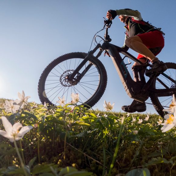
By bike through the Tuscan–Emilian Apennines
PistoiaSambuca Pistoiese
An itinerary designed for bicycle touring, winding through lush forests, historic villages, and the scenic landscapes of the Tuscan–Emilian Apennines.
Stages Itinerary
Pracchia
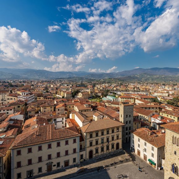
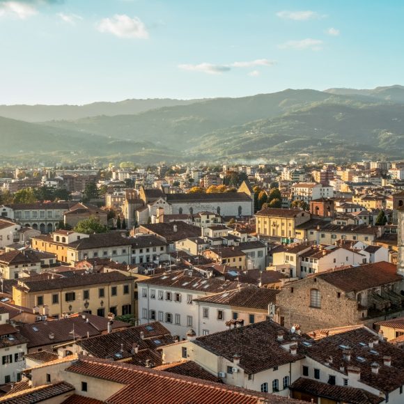
Pistoia
Sambuca Pistoiese
stage 1
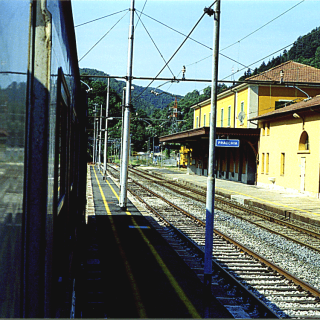
Pracchia
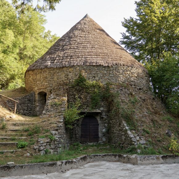
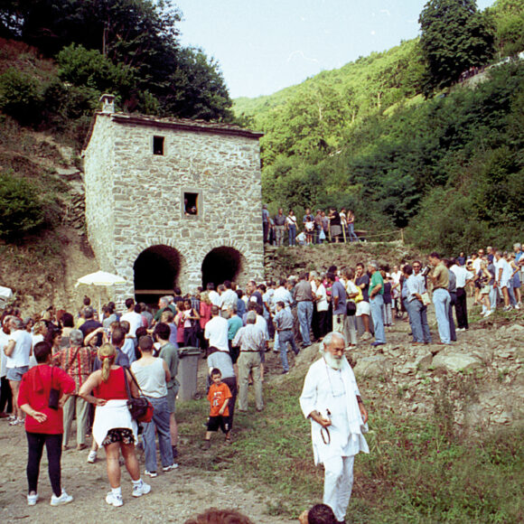
Pracchia is a mountain hamlet in the municipality of Pistoia, nestled in a narrow, deep valley crossed by the Reno River.
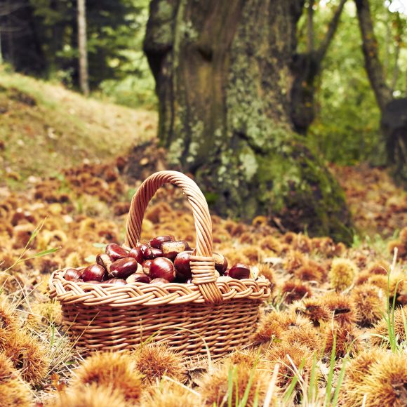
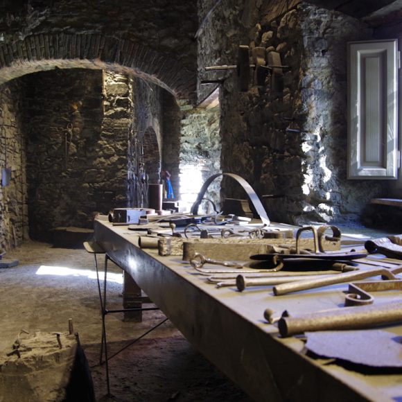
The village’s history and development have always been closely linked to agriculture and pastoralism, to the production of natural ice, and to ironworking—traditional activities of the Pistoiese Mountains, and, above all, to the construction of the Porrettana Railway, the first trans, Apennine railway line.
Posola
Sambuca Pistoiese
stage 2
Posola
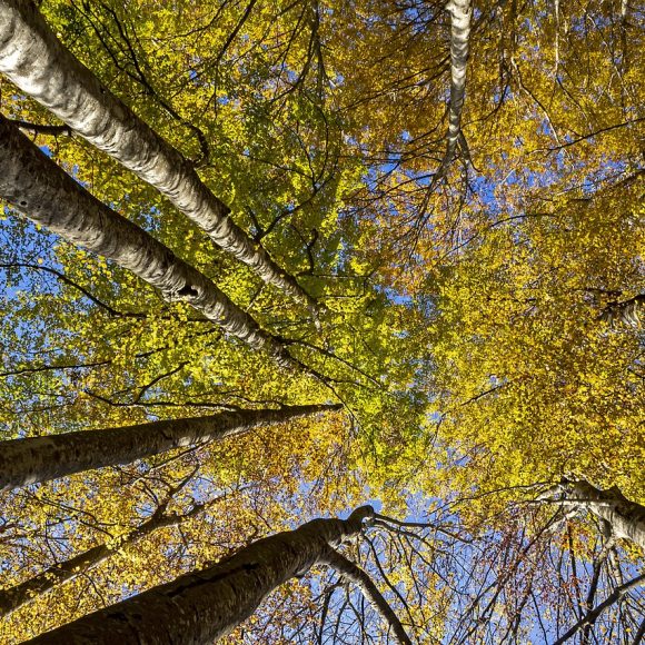
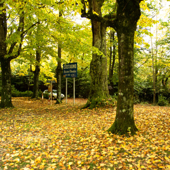
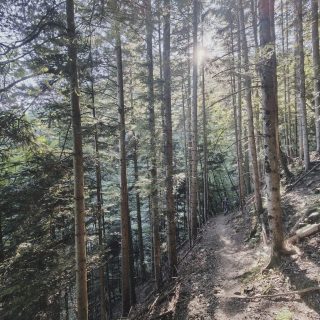
Situated at an elevation of 942 m, Posola lies on a plateau near the ridge between the Reno Valley and the Western Limentra Valley. The surroundings of the village are characterized by extensive forests of chestnut, beech, oak, and conifer trees. According to tradition, the name derives from a post station for travelers and merchants, where a stone was ‘laid down’ (posata) to mark a place of rest and refreshment. Highlighting the village’s role as a border point, a distinctive dialect was once spoken here—somewhere between the mountain dialect of Bologna and that of Pistoia.